
Two tropical storms were named in the Pacific on Thursday, and both are on track to become hurricanes over the weekend. Tropical Storm Lowell formed 1,500 miles southeast of Hawaii, while Tropical Storm Karina formed 750 miles to the south-southwest of Cabo San Lucas. Neither is expected to make landfall.
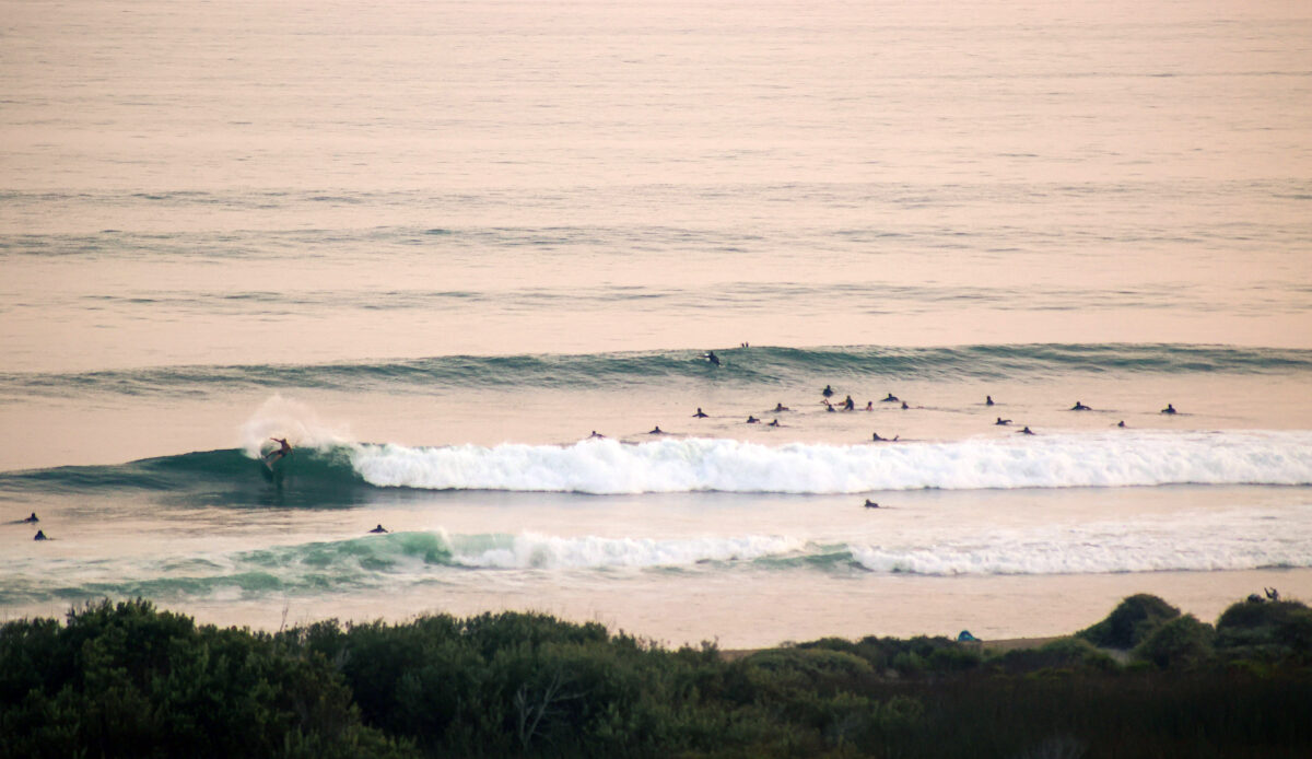
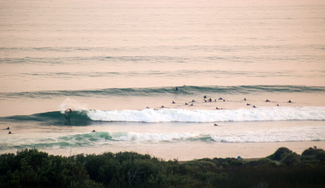
Karina is the more interesting system for surf, churning seas within the Southern California swell window. It has wind speeds of 50 mph, but the National Hurricane Center says it could strengthen into a major Category 3 hurricane with winds of 125 mph in the coming days. It’s currently on a northwestward track, sending waves to California.
According to Surfline, Southern California will start to see Karina’s forerunners late Sunday, peaking Monday. However, the surf size is not expected to exceed what the region just experienced with Tropical Storm Iselle.
8/27 2pm PDT: Tropical Storms #Karina and #Lowell just formed. Both are forecast to strengthen to hurricanes over the next few days. See https://t.co/NyUGSIFCuo for the latest advisory information pic.twitter.com/oAYccspzRG
— NHC Pacific (@NHC_Pacific) August 27, 2026
As Karina builds off Mexico, Lowell is also expected to reach hurricane status in the coming days as it tracks to the west, south of the Hawaiian Islands. It could reach wind speeds up to 110 mph, but current models don’t predict a strike on Hawaii as Hurricane Lala did earlier this month.
Looking into next week, more tropical activity is brewing in the Southern California swell window. Low pressure is forming off Mexico, and the National Hurricane Center gives it an 80 percent chance of becoming a tropical storm in the next seven days. Earth’s oceans are breaking record temperatures, and El Niño-fueled warm water in the Pacific is likely to keep pumping out hurricanes on the storm production line.