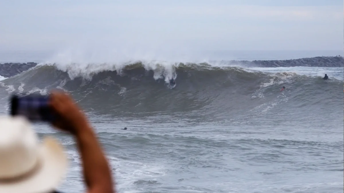
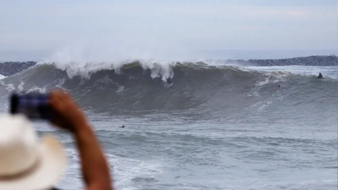

After Hurricane Marie pounded the Southern California coast with surf, the Pacific tropics have been quiet for a few weeks. But that pattern is changing this week. Two hurricanes are set to churn up waters again.
Currently, two named tropical storms, Odalys and Polo, are spinning in the Pacific Ocean. Odalys, while the weaker of the two systems, is the better bet for California swell production. The storm is well off the continent, 1,400 miles southwest of Cabo San Lucas, but it’s expected to do a U-turn on Tuesday as it strengthens into a Category 1 hurricane with wind speeds of 80 mph.
While it will most certainly send a pulse of swell to Southern California later in the week, the storm is far enough west that the Central and Northern California coasts could get in on the action as well.
As Odalys meanders about the open ocean, Mexicans are keeping a close eye on Hurricane Polo, already a Category 1 cyclone spinning just 270 miles offshore from the port of Manzanillo. It’s expected to skirt the coast and drop torrential downpours in the coming days.
But what happens next is what’s of interest to surfers in California. The National Hurricane Center says “conditions look ideal for explosive intensification during the next day or two.”
Forecasts say the storm could reach Category 5 within three days, with wind speeds over 160 miles per hour. Models agree the storm will travel northwest, but there is uncertainty around where it will end up. Some models say it will make landfall in Baja California. Others say it could stay further west and enter the Southern California swell window.
Looking even further out, there could be another hurricane on the heels of Polo. The El Niño hurricane season isn’t over yet.